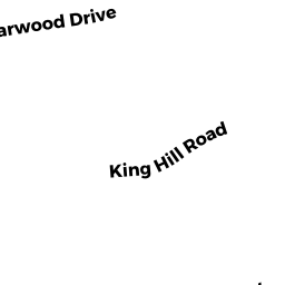
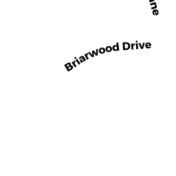
128 BRIARWOOD DRIVE
Owner Information
BRISSENDAN, JOEL T AND OSTROWSKI, AMY B
128 BRIARWOOD DR
HANOVER, MA 02339


Property Details
128 BRIARWOOD DRIVE is classified as a Single Family Residential (Colonial).
The primary structure on this property was built in 1985. There are 4,340ft2 of built area within this property. There is 2,363ft2 of residential/living space within this property. This property is listed as having 8 rooms.
128 BRIARWOOD DRIVE is valued at $657,800. The land is valued at $246,700 and the structures are valued at $393,700. There is an additional valuation of $17,400 on this property.
The most recent deed for 128 BRIARWOOD DRIVE is recorded at the local registrar in Book 43282, Page 175. 128 BRIARWOOD DRIVE was last sold on Friday, June 28, 2013 for $506,000.
Assessment data from fiscal year 2022.
Flood Data
According to the FEMA National Flood Hazard Layer, this property does not appear to be in a flood zone. It may also be in an area not yet reviewed. Nonetheless, confirm this information prior to taking any action.
To view the flood hazards around this property, create a FEMA "Firmette" Map of the area around 128 BRIARWOOD DRIVE.
Broadband Internet Providers
| Provider | Type | Bandwidth (mbps) | |
|---|---|---|---|
| T-Mobile | Fixed Wireless | 25 | 3 |
| VSAT Systems, LLC. | Satellite | 2 | 1 |
| GCI Communication Corp. | Satellite | 0 | 0 |
| HughesNet | Satellite | 25 | 3 |
| Viasat Inc | Satellite | 100 | 3 |
| Verizon New England Inc. | DSL | 5 | 0 |
| Verizon New England Inc. | Fiber | 940 | 880 |
| Comcast | Cable | 1000 | 35 |
Broadband service provider data from December 2020.
Adjacent Properties
- 140 BRIARWOOD DRIVE
Single Family Residential owned by GALOTTI RICHARD C & LORI M (TE) - 110 BRIARWOOD DRIVE
Single Family Residential owned by FRANCIS KEVIN AND ELLEN - 79 KING HILL ROAD
Single Family Residential owned by FICHTNER, WILLIAM K JR. - 95 KING HILL ROAD
Single Family Residential owned by LINDA S LAGRANGE LIVING TRUST ETAL